The new law introduces rules for working with geodata and cartography.
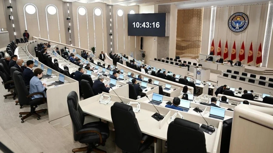
In its third reading, the Jogorku Kenesh approved the draft law titled "On Geodesy, Cartography, and Spatial Data".
The initiative to introduce this draft law was put forward by the Chairman of the Cabinet of Ministers.
The adopted document introduces a number of new concepts, including geographic information systems and technologies, and also defines the powers of state bodies and local self-government bodies in this area.
In addition, the law establishes an obligation for state structures to use data from the state fund and the unified electronic cartographic database when working with maps and spatial information.
Photo www