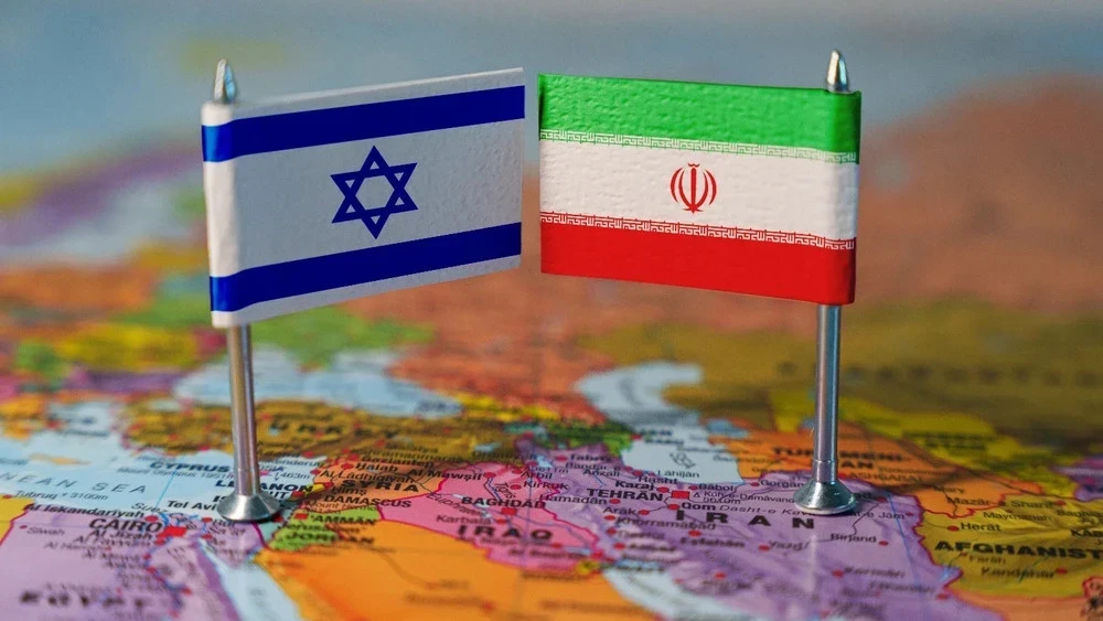
In the last day of February, the escalation of the conflict between Iran and Israel became particularly noticeable due to missile attacks on Iranian territory. According to international media reports (Reuters, AP, The Guardian, Washington Post), these strikes targeted strategic military facilities. Iran, in turn, confirmed retaliatory strikes against Israel and announced actions against American military bases in the region.
In response to the escalation of the conflict, international organizations and government bodies called for a de-escalation of tensions. The UN Secretary-General expressed concern about the possibility of the conflict expanding, and the Security Council held urgent consultations. Russia condemned Israel's actions, while European Union countries expressed their concerns and called for a diplomatic resolution to the situation.
At the same time, security risks in the Strait of Hormuz sharply increased. According to Reuters reports, Iranian military forces began informing vessels of a passage ban, which caused disruptions in shipping and temporary halts in oil supplies. However, there has been no official confirmation of the closure of the strait.
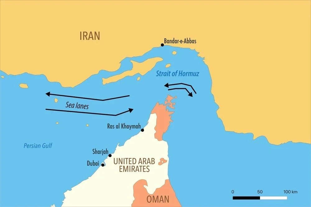
Maps illustrating the military situation and geographical aspects of the region are presented.


